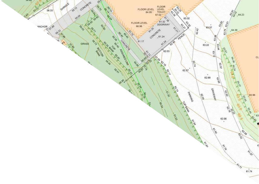
Topographical surveys map the features and levels of land, showing you exactly what’s on (or just under) the surface. This includes gradients, vegetation, buildings, utilities, boundary lines and more.
MobileCAD surveys large open sites, commercial grounds, leisure complexes, or private gardens using Leica Total Stations, GPS receivers, and mobile scanners.
We tie survey points into OSBM or World Coordinates where required.
Get reliable data to inform planning applications, drainage designs, landscaping strategies and more.