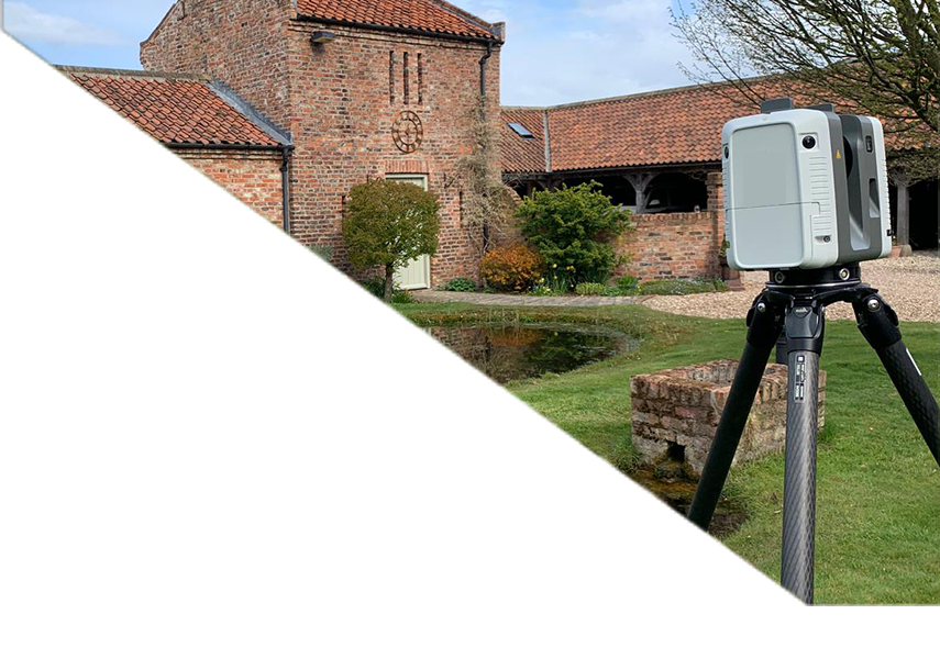
Using high-definition static laser scanners (Leica RTC) and mobile scanning technology (NAVVIS) to capture full point cloud data of your property.
This method enables:
Rapid site capture (e.g. a 5-bedroom house in under an hour)
Full 3D datasets for modelling
Detailed 2D plans, elevations, and Revit models
Minimal disruption to occupants
Static scanners are ideal for high-detail elevation work or listed buildings. Mobile scanners are the go-to choice for time-sensitive projects, feasibility work, or buildings in constant use such as schools and hospitals.
Scanning workflows give you accurate, site-wide data – in less time, with more flexibility.